Monday, May 08, 2006

Support the Perry Historians

See old photos, maps, books and newspaper articles, as well as discover genealogical data about Duncannon and other Perry County communities - visit The Perry Historians. Located off Rt 34 between New Bloomfield and Newport, Pa., two (2) miles from the square in New Bloomfield, or four (4) miles from Newport. The Lenig Library is open most Wednesdays, 9 a.m. to 9 p.m. (717) 582-4896

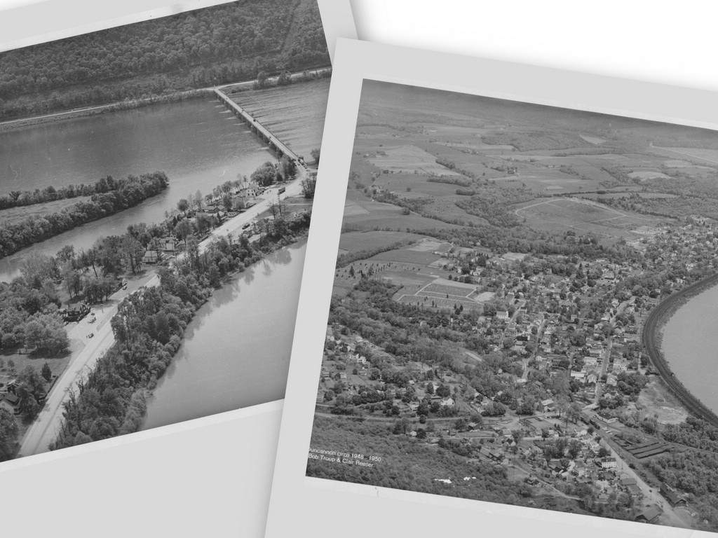
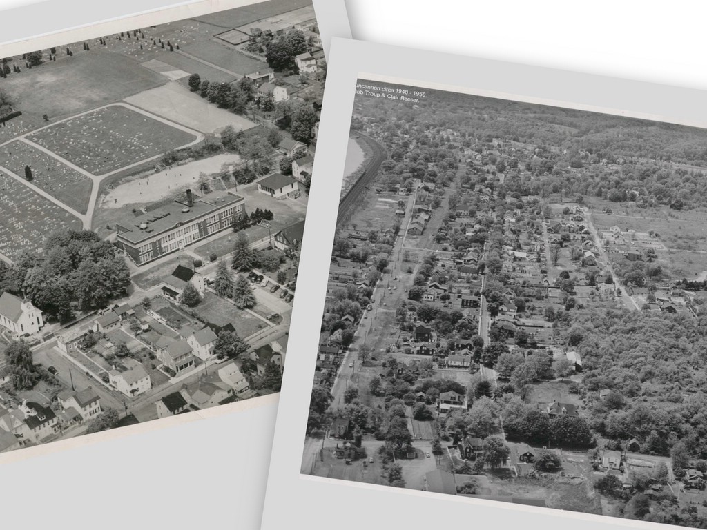
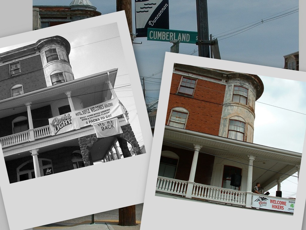
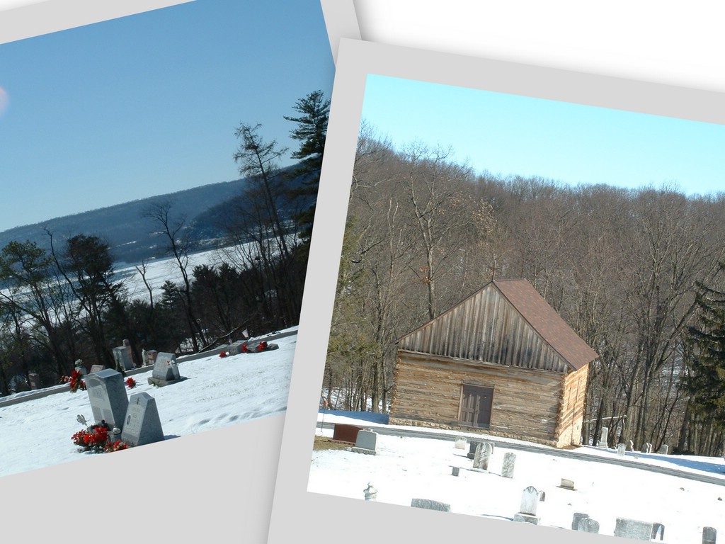
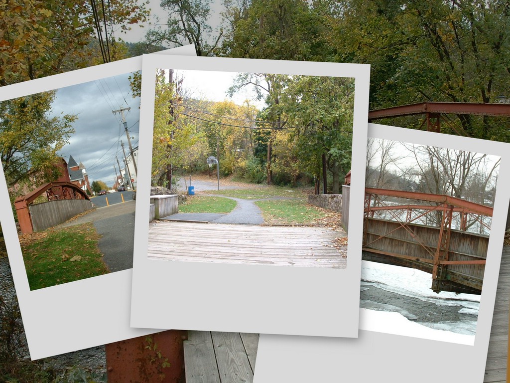
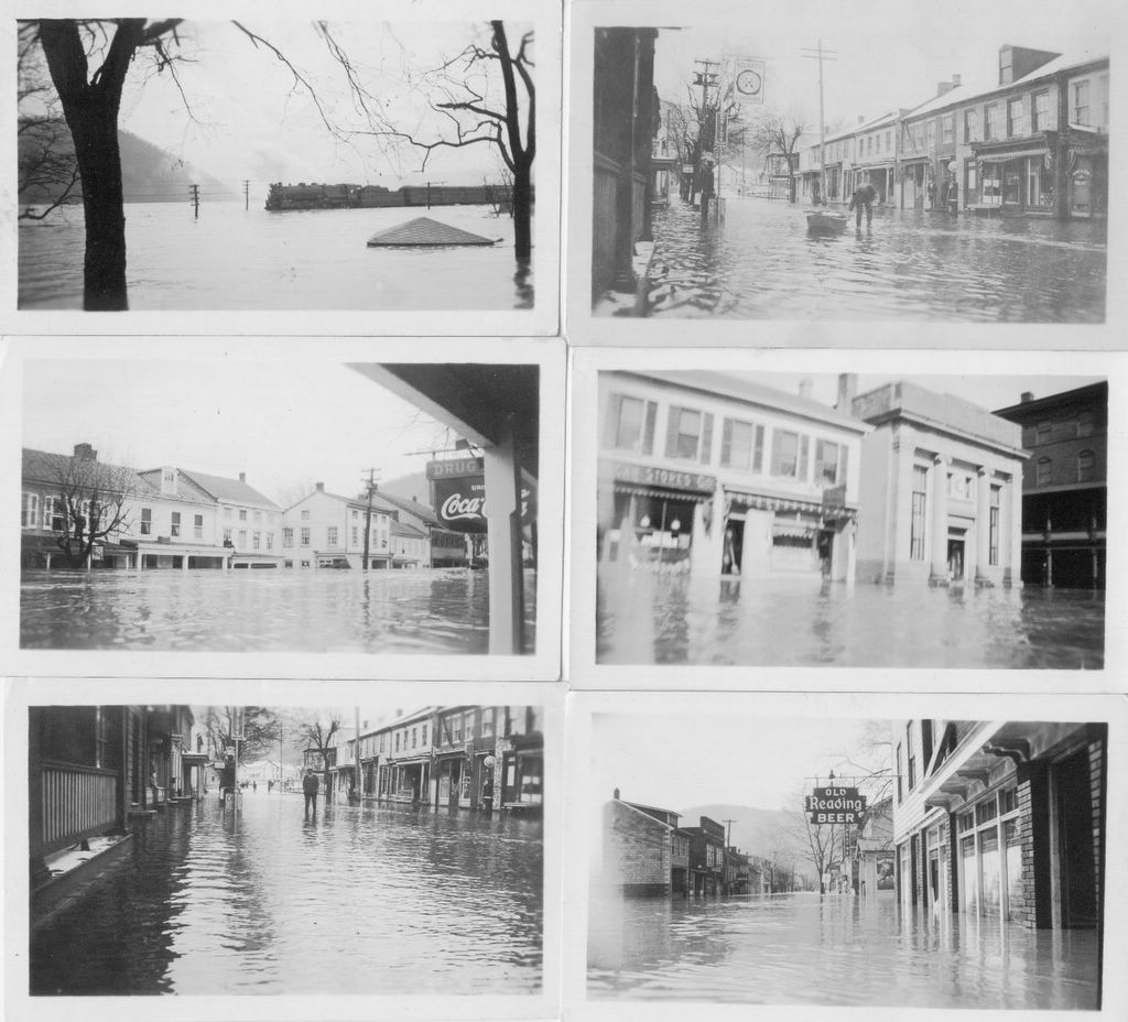
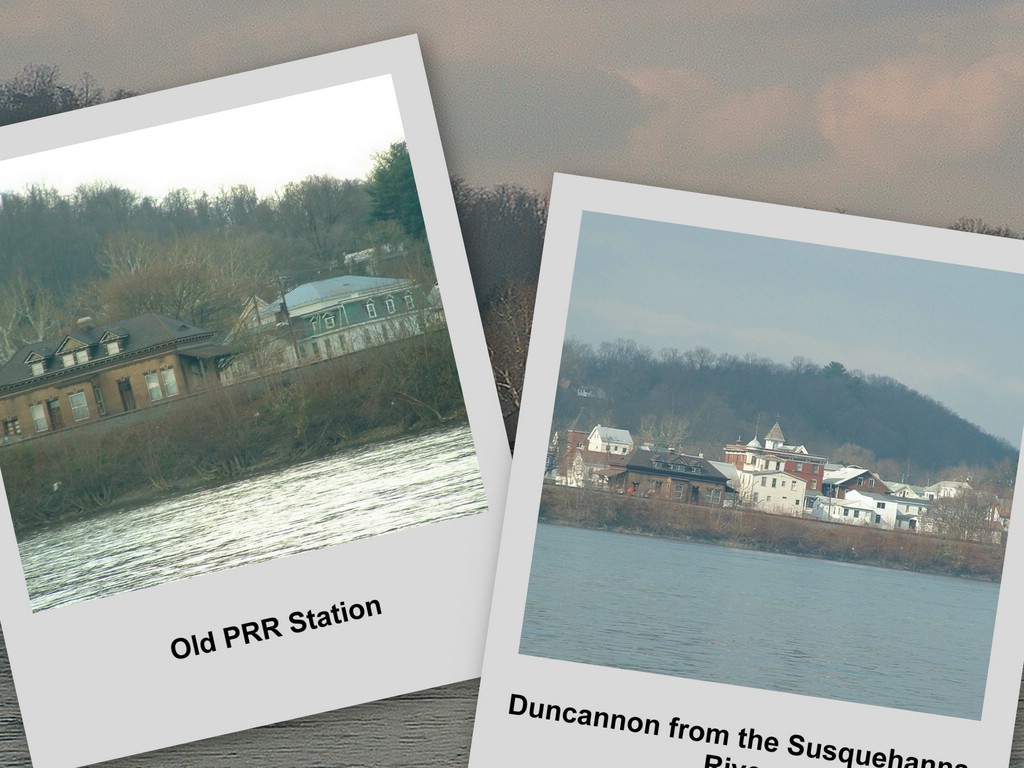
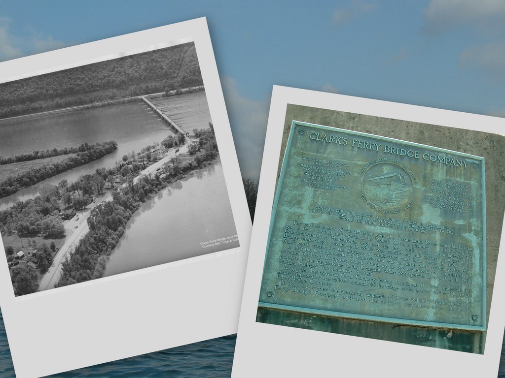
CLICK on any photo or image to ENLARGE it; RIGHT- CLICK to access the print function.

Notice the PaRR on Apple Tree alley in this 1888 Sanborn map. Posted by Picasa

Saturday, May 06, 2006

Duncannon Views 2

A little bit of Duncannon history mixed with some photos and maps.
[Click on any photo to ENLARGE.] Posted by Picasa

Duncannon Ordinance of 1901 prohibited contamination of the public water fountain that occupied the Square for many decades. Posted by Picasa

Tower at the Old Lightning Guider Sledworks in Duncannon, Pa. Posted by Picasa

1888 Sanborn Map shows portion of Duncannon Square. Note: A 3 story frame National Hotel pre-dated the Hotel Doyle which was built in 1905. Pump and Fountain (preserved at American Legion Post) served the public in the center of the Square. Posted by Picasa

Depicted as Hotel Jones in 1888 Sanborn map. Erected south of the Square by Mexican War hero Captn Samuel McKinzie in 1849. Also known as the Laird Hotel in the early 1900s, the structure currently hosts "Curves." Posted by Picasa

Duncannon Aerials - about 1950 Posted by Picasa
Feel free to CLICK on any photo to ENLARGE. Right click to access SAVE or PRINT functions. Posted by Picasa

Aerials - circa 1950 Posted by Picasa

Hotel Doyle, serving Duncannon since 1905! Truly, Hikers' Haven. [Many ATers would add an "e" to Haven. Posted by Picasa

Replica of first Presbyterian church above Duncannon. Posted by Picasa

Before the Rt 11/15 arterial was built, the AT crossed an historic "Berlin" bridge directly to High Street avoiding Market Street. Posted by Picasa

Appalachian Trail changes direction at the Square. Hotel Doyle, in background, beckons to weary, hungry, thirsty Thru-hikers. Posted by Picasa

Duncannon Community Mural on the Square. Posted by Picasa

1936 Flood. The Pub served Old Reading (lower right). Posted by Picasa

One of Duncannon's portals to the river - the Ann Street Arch near The Pub. Posted by Picasa

View from Susquehanna. Cable company currently occupies the former PRR Station with its splendid vistas to the river. Posted by Picasa

Duncannon's "new" Penna. RR Station. Posted by Picasa

Venerable and narrow - Juniata River Bridge Posted by Picasa

The wooden covered Clarks Ferry Bridge with the mule towpath on the outside was replaced in 1925. Posted by Picasa

The other bridge at Duncans Island. Note AT white blaze for northbound hikers leaving Duncannon. Posted by Picasa

The Aqueduct carried the canal over the Juniata River to Duncans Island. When the railroads came, the trains dropped passengers off at Aqueduct to travel by canal boats to the upper Susquehanna destinations. Posted by Picasa

Pennsylvania's Main Line Canal was completed in 1829, and began at Duncans Island paralleling the Susquehanna River north to Liverpool and Northumberland. Posted by Picasa

Links to other Duncannon Views and to Email Izzy

Duncannon Views 2